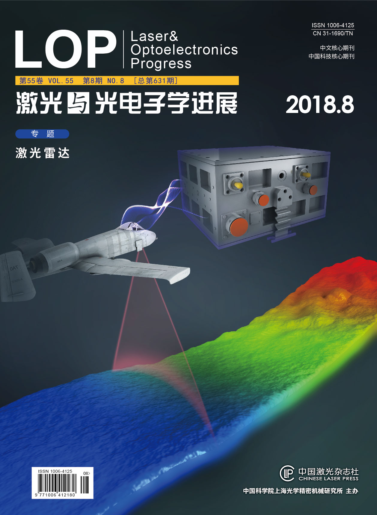
激光与光电子学进展, 2018, 55 (8): 082802, 网络出版: 2018-08-13
机载激光测深系统与船载移动测量系统数据配准方法研究  下载: 946次
Study on the Data Registration Method of Airborne Bathymetric LiDAR System and Ship-Based Mobile Measurement System
数据配准 曲率特征点 ICP算法 机载激光测深系统 船载移动测量系统 data registration curvature feature point ICP algorithm airborne bathymetric LiDAR system ship-based mobile measurement system
摘要
机载激光测深系统能够快速、高效地测量浅海、岛礁、暗礁及船只无法安全到达的水域,能够提供近岸全覆盖50 m水深测量;船载移动测量系统可以获得近岸浅海水底地形数据及近岸岛礁精细三维激光点云,二者数据在测量区域以及测量范围上具有一定的互补性。文中采用一种基于曲率特征点的改进迭代最近点(ICP)算法,将国产机载测深系统和船载移动测量系统获取的机载激光测深数据、多波束数据、三维激光扫描数据进行配准融合。结果表明,通过将二者数据进行配准融合,可以实现陆地、浅海区域海陆地形的全面精准描述、海陆基准统一,有助于海岛礁地形地貌认识、水下目标物探测及发现等。
Abstract
Efficiently and quickly measuring shallow waters, islands, reefs, ledges and unreachable waters for ships, an airborne bathymetric LiDAR system is able to measure deep to 50 meters, covering the entire inshore region, while the ship-based mobile measurement system is capable of obtaining topographic data of the ocean floor in inshore shallow sea and fine 3D laser point cloud of islands and reefs. These systems have some complementarity in the area and range of measurement. In this paper, an improved iterative closest point (ICP) algorithm based on feature points of curvature is applied to conduct registration and fusion of airborne bathymetric data, multi-beam data and 3D laser scanning data obtained from the domestic airborne bathymetric LiDAR system and the ship-based mobile measurement system, as well as comprehensively and accurately describe the terrain of both coastal waters and inshore areas for a unified criterion. The results show that the registration data from the airborne bathymetric LiDAR system and the ship-based mobile measurement system can be of great significance in comprehending the topography of islands and reefs, as well as detecting and discovering underwater targets.
田茂义, 王延存, 俞家勇, 贺岩, 曹岳飞, 吕德亮, 胡善江, 杨忠, 朱霞, 石先高. 机载激光测深系统与船载移动测量系统数据配准方法研究[J]. 激光与光电子学进展, 2018, 55(8): 082802. Tian Maoyi, Wang Yancun, Yu Jiayong, He Yan, Cao Yuefei, Lü Deliang, Hu Shanjiang, Yang Zhong, Zhu Xia, Shi Xiangao. Study on the Data Registration Method of Airborne Bathymetric LiDAR System and Ship-Based Mobile Measurement System[J]. Laser & Optoelectronics Progress, 2018, 55(8): 082802.


